
 Login
Login
Lake Barkley (North Section), Kentucky/Tennessee Waterproof Map (Fishing Hot Spots) – Lake Maps
Store » Lake Maps » Lake Barkley (North Section), Kentucky/Tennessee Waterproof Map (Fishing Hot Spots)
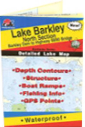 |
Lake Barkley (North Section), Kentucky/Tennessee Waterproof Map (Fishing Hot Spots)Barkley Dam to Hwy 68/80 Bridge - Ky
For all species there are basically two seasons: spawning and the rest of the year. This season corresponds with a rise in water levels from winter pool to summer pool. This significant fishing destination has been recognized as one of the best largemouth bass fisheries in the nation. Anglers share the water with heavy recreational boat traffic. This is the premier series of Fishing Hot Spots maps. Each detailed maps provides depth contours, structure, boat ramps and updated fishing information, with productive spots marked on the map. You'll also find a complete lat/long grid and dozens of GPS waypoints. These four-color maps are as easy-to-use as they are to read! Size - 24 x36 $16.45
Shipping: 0.00
Category: Lake Maps Vendor: Fishing Hot Spots Vendor Item #: L112 Inventory: 0 Dated Added: |
|
Quick Links Lake Barkley News Lake Barkley Photos Lake Barkley Videos |


